Google Earth
Summary
Desktop software to explore satellite photography of the Earth, add annotations, and create tours.Overview
From the website:
Create maps with advanced tools on PC, Mac, or Linux.
- Compute distances and areas using measurement tools
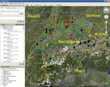
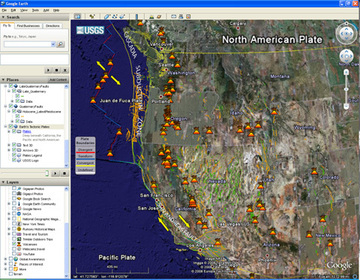
- Visualize, manipulate and export GIS data
- Use Movie Maker to produce media collateral
- Manipulate and export GIS data
- Go back in time with historical imagery